Through its activities in the Thracian Sea, the EfxINNOs project led by DUTH is exploring an integrated approach that combines autonomous underwater vehicles (mAUVs), acoustic and optical sensors, and AI-based image analysis to support the monitoring of benthic habitats.
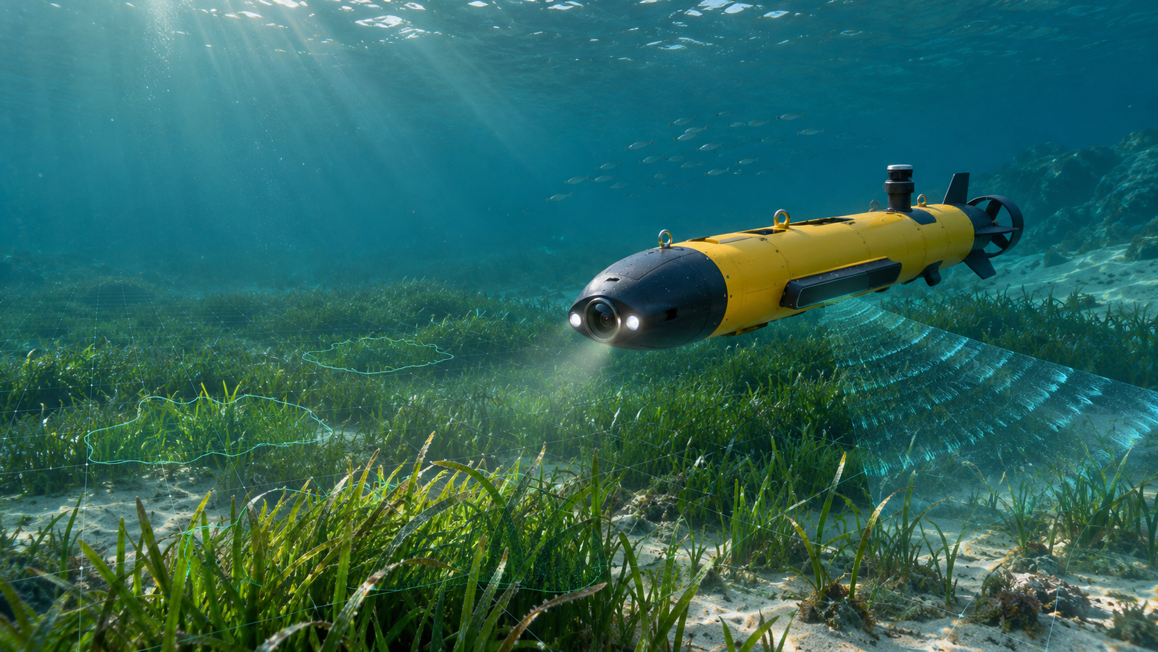
A key component of this approach is a compact autonomous underwater vehicle equipped with complementary instruments, including a camera, side-scan sonar and sensors for measuring underwater conditions and tracking its position. Following pre-programmed routes, the vehicle can collect information close to the seabed, capturing both visual images and acoustic data over the surveyed area.
These two types of information provide complementary perspectives. Underwater cameras capture detailed images of the seabed and its habitats, while side-scan sonar provides a broader acoustic view of the seabed and its features. Combining them helps build a more comprehensive picture of the surveyed environment and offers a basis for identifying and mapping important benthic habitats, including seagrass meadows such as Posidonia oceanica.
Artificial intelligence is being explored to make the processing of this information more efficient. Image-processing techniques are first applied to improve underwater footage, where suspended particles, reduced visibility and changing light conditions can make habitat identification difficult. Machine-learning methods are then used to identify seagrass in video frames. By linking these detections to the vehicle’s navigation data, individual observations can be positioned geographically and combined to produce spatial representations of seagrass distribution. In parallel, AI-based approaches are being tested to identify seabed features in side-scan sonar imagery.
The work also involves testing and refining the methods under real survey conditions. Initial experience has highlighted the importance of factors such as vehicle altitude, sea state, image quality and survey coverage. The availability of sufficiently diverse and accurately labelled underwater images is equally important for training and validating reliable AI models. The current activities therefore represent an important stage of methodological development, with further data collection and testing needed to strengthen the results.
The innovation of EfxINNOs lies in bringing these technologies together within a common monitoring approach: combining autonomous data collection, complementary acoustic and visual observations, and AI-assisted analysis to move towards more efficient, consistent and transferable methods for assessing marine ecosystems.
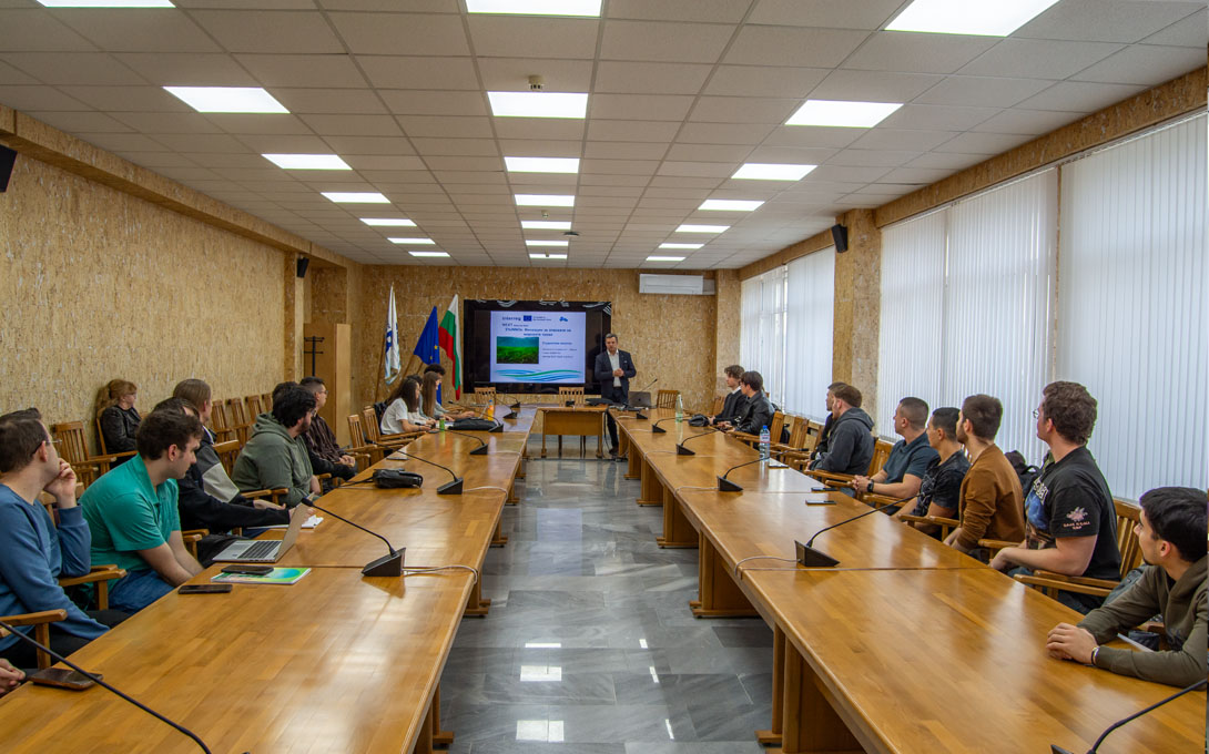
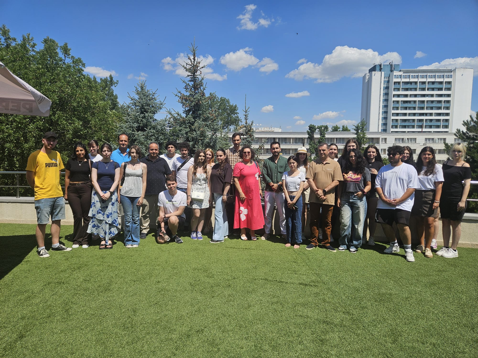
The DUTH team presented this work at the EfxINNOs 4th Joint Open Workshop, held in Constanța on 28 October 2026. The presentation introduced the mAUV-based monitoring approach and the development of AI-supported methods to an audience of approximately 50 young scientists, providing an opportunity to share practical experience, discuss emerging technological applications and highlight the potential of innovation in marine ecosystem monitoring.
Beyond the individual pilot activities, EfxINNOs aims to support a transnational marine monitoring network connecting the North Aegean and Black Sea. By promoting shared methodologies, technological cooperation and data harmonisation, the project contributes to strengthening regional scientific capacity for marine ecosystem monitoring and the sustainable management of marine resources.