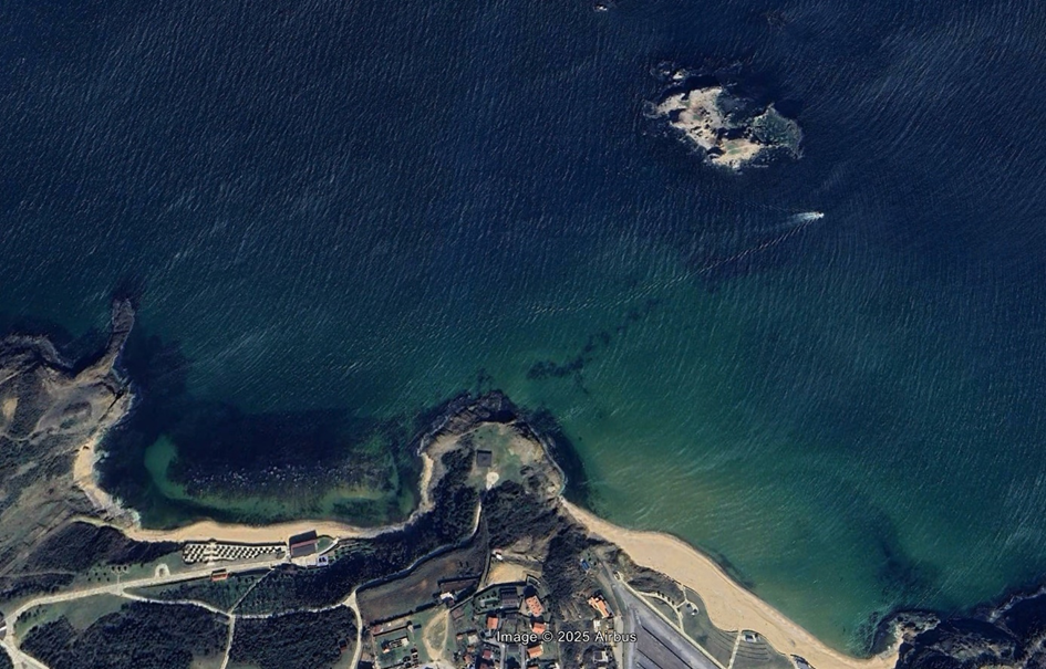
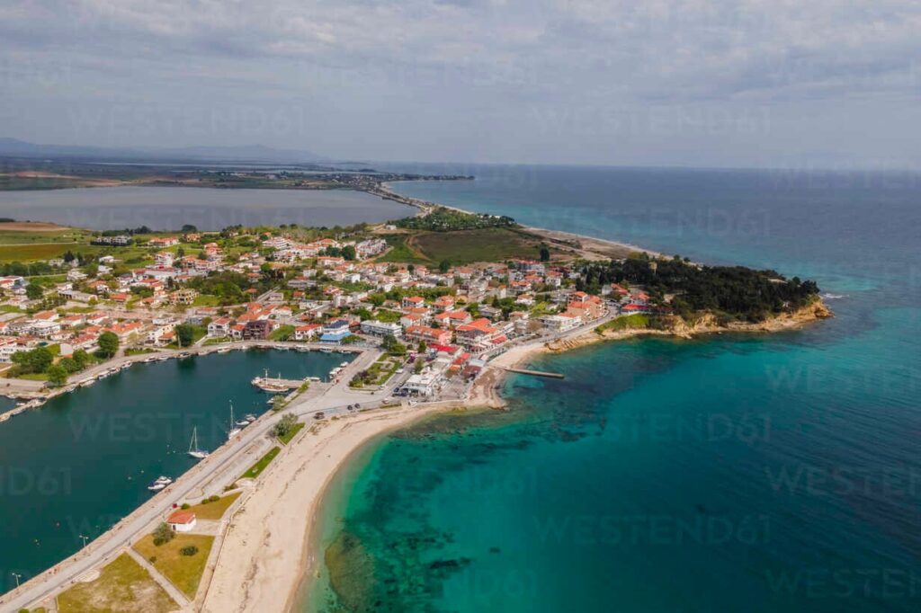
Greek Pilot Area: Fanari, Thracian Sea
Located along the northern Aegean coast, the Thracian Sea shoreline represents an ecologically
exceptional marine environment and an ideal site for long-term seagrass monitoring. The area
hosts extensive meadows of Posidonia oceanica and Cymodocea nodosa, which support high
biodiversity, stabilize sediments, and maintain excellent water quality. According to the
Ecological Evaluation Index (EEI), the Thracian Sea shoreline extending from Vrasidas
Peninsula to Fanari area is protected by Natura 2000, and most of it belongs to the Ramsar
Treaty as part of the Nestos, Vistonis, and Ismarida Protected area. Along its protected parts, the
area attains the highest ecological status, reflecting its pristine condition and minimal human
disturbance.
Recent field activities by the Democritus University of Thrace included seagrass mapping,
underwater video documentation, and in situ verification of meadow health and distribution,
confirming the area as a highly valuable pilot area for monitoring ecosystem dynamics in the
Greek coastal zone.
—
Bulgarian Pilot Area: [Name of the Pilot Area]
[short description of each pilot area] (500-characters)
[image] (photo of the pilot area or a map)
—
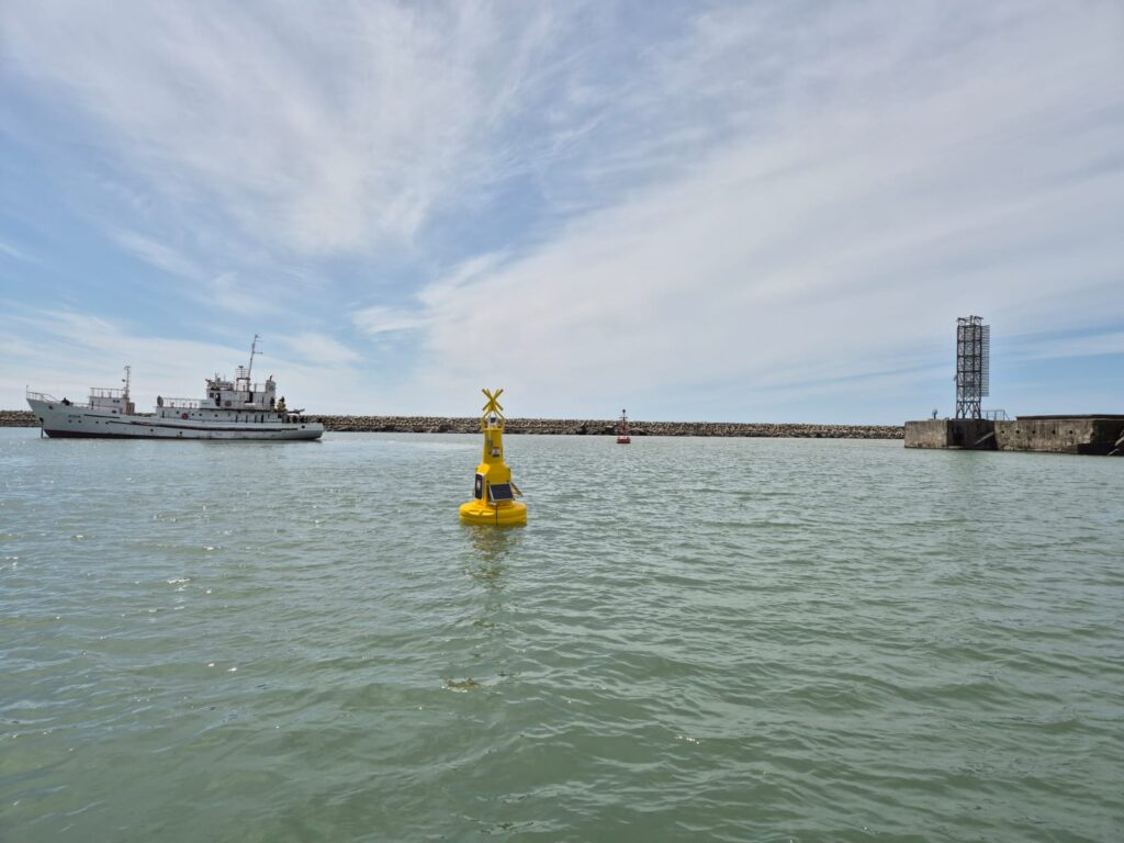
Georgian Pilot Area: The Poti Sea Port, Black Sea
The Poti Sea Port is a major seaport and harbor off the eastern Black Sea coast at the mouth of the Rioni River in Poti (location at 42 0 9’18’’N 41 0 39’16’’E) .
The city of Poti is located on the Colchis Lowland , 1-3 meters above sea level, 312 km from Tbilisi . The area of the city is 69 sq. km. The city occupies a coastal plain, which is divided into unequal parts by one of the branches of the Rioni River. The lands bordering the city are largely swampy, especially where the soil surface level is below sea level. The city is bordered by the Kaparchina River to the southeast, and Lake Paliastomi is also located here.
—
Romanian Pilot Area: Coastal waters between Năvodari and Mangalia
The coastal waters between Năvodari and Mangalia (0-20m) present a highly diverse mosaic of seabed types and marine habitats, making the area ecologically significant for restoration efforts. In the shallow infralittoral zone (0.5-10 m), sandy bottoms dominate, particularly in the northern sector of the demonstration site (Năvodari–Agigea). These sandy habitats are primarily characterised by benthic communities dominated by Chamelea gallina and Lentidium mediterraneum.
In the southern part of the area, especially at Mangalia, sedimentary habitats are partially colonised by eelgrass meadows (Zostera noltei), which occur on clean fine sand or muddy sand at depths of 1–3 meters. Adjacent to these sandy plains, hard substrate that dominates the southern sector, support infralittoral rocky formations with photophilic algae, including Cystoseira barbata, as well as Mytilus mussel reefs. These reef structures, ranging from several tens of centimetres to a few metres in size (between 1–20 m depth), host diverse epibenthic communities, including sea anemones, sponges, red calcareous algae (e.g., Corallina officinalis), and mobile fauna such as Pachygrapsus marmoratus and Eriphia verrucosa.
A unique ecological feature of the Mangalia area is the presence of natural submarine sulphide seeps – springs that release dissolved sulphur into the rocky seabed at depths of up to 15 meters. These conditions give rise to sulphur-enriched microhabitats characterized by whitish mineral crusts and specialized microbial and algal communities.
Currently, parts of this coastal zone are experiencing significant anthropogenic pressures due to coastal reconstruction activities, including dyke construction and beach nourishment works. These interventions are causing direct impacts on key habitats, notably the complete burial of Zostera noltei eelgrass meadows and the degradation of Cystoseira barbata belts. In addition, populations of the rare bivalve Pholas dactylus—which inhabits boreholes in consolidated clay substrates—are also under threat. The asessment of these ecologically valuable species and habitats is therefore an urgent and high-priority action within the EfxINNOs project framework.

—
Turkish Pilot Area: Istanbul Black Sea Coast: Priority Pilot Monitoring Area for Zostera marina
The Şile–Kilyos coastal sector, located along the northeastern margin of Istanbul’s Black Sea coastline, encompasses some of the most structurally intact shallow-water habitats within the Turkish sector of the basin. The predominance of naturally occurring sandy and gravel-dominated substrates provides favourable microscale conditions for seagrass colonization, anchorage, and clonal expansion, thus defining this sector as a priority pilot site for long-term Zostera marina monitoring under the EfxINNOS Project.
Zostera marina meadows in this coastal sector form locally persistent and ecologically functional assemblages despite the region’s high hydrodynamic forcing and the pronounced spatio-temporal variability in physicochemical parameters characteristic of the Black Sea. As such, the Şile–Kilyos coastal sector represents a scientifically valuable reference area for detecting shifts in water quality, evaluating coastal erosion dynamics, and assessing climate-driven changes in habitat structure and function.
Although located within the broader influence zone of the Istanbul metropolitan region, several subsections of this coastal sector remain comparatively low in anthropogenic coastal-use intensity. Field observations from these less-impacted stretches indicate the presence of continuous or semi-continuous Z. marina patches distributed across open sandy habitats, suggesting that geomorphological and ecological integrity has been partially retained. These characteristics enhance the sector’s relevance for rigorous ecological assessment and long-term monitoring programmes.
Recent surveys carried out by the Istanbul University Faculty of Aquatic Sciences within the EfxINNOs framework have integrated ROV-based seabed imaging, high-resolution underwater video transects, and in situ habitat verification. These complementary methods provided updated information on the spatial distribution, shoot density, and vitality of Z. marina beds. The combined evidence substantiates the designation of the Şile–Kilyos coastal sector as one of the most suitable pilot areas in the Black Sea for sustained seagrass ecosystem monitoring.
The datasets produced from this sector support the conservation of the limited seagrass habitats remaining along the Turkish Black Sea coastline and contribute a scientifically robust reference to the harmonization of regional seagrass monitoring methodologies and indicators.